Log in
All resources
Create a design
31 Free Artworks of 1829 Maps
haarlem nautz map 1822-1829
old maps of haarlem
victory expedition
british library
northwest passage
gulf of boothia
1829 maps of canada
thomas abernethy (explorer)
charles simonneau
bl maps k.top.124 (south america)
victory expedition
northwest passage
victory expedition
northwest passage
english-language maps from ios map collection
classicism
haarlem nautz map 1822-1829
old maps of haarlem
maps of haarlemmerhout
old maps of haarlem
ferdinand joseph nautz
old maps of haarlem
old maps of zürich
heinrich keller
18th-century maps of the strait of magellan
1700s maps of argentina
old maps of rennes
adolphe périaux
maps of brest from bibliothèque nationale de france
1829 in brest (france)
old maps of haarlem
museum haarlem
maps in the stadsarchief amsterdam
daniël veelwaard (i)
old maps of the amazon river
1700s maps of brazil
eran laor cartographic collection
joseph schwarz
old maps of the canadian arctic region
victory expedition
travels on the continent, sicily, and the lipari islands (1829)
19th-century maps of sicily
eran laor cartographic collection
carl heinrich beichling
historical images of the jardins des champs-élysées
gabriel thouin
historical images of the jardins des champs-élysées
gabriel thouin
old maps of haarlem
museum haarlem
travels on the continent, sicily, and the lipari islands (1829)
floor plans of italy
the birds of the sandwich islands
the geography of mammals (1899)
the magazine of american history with notes and queries (1877)
john andré
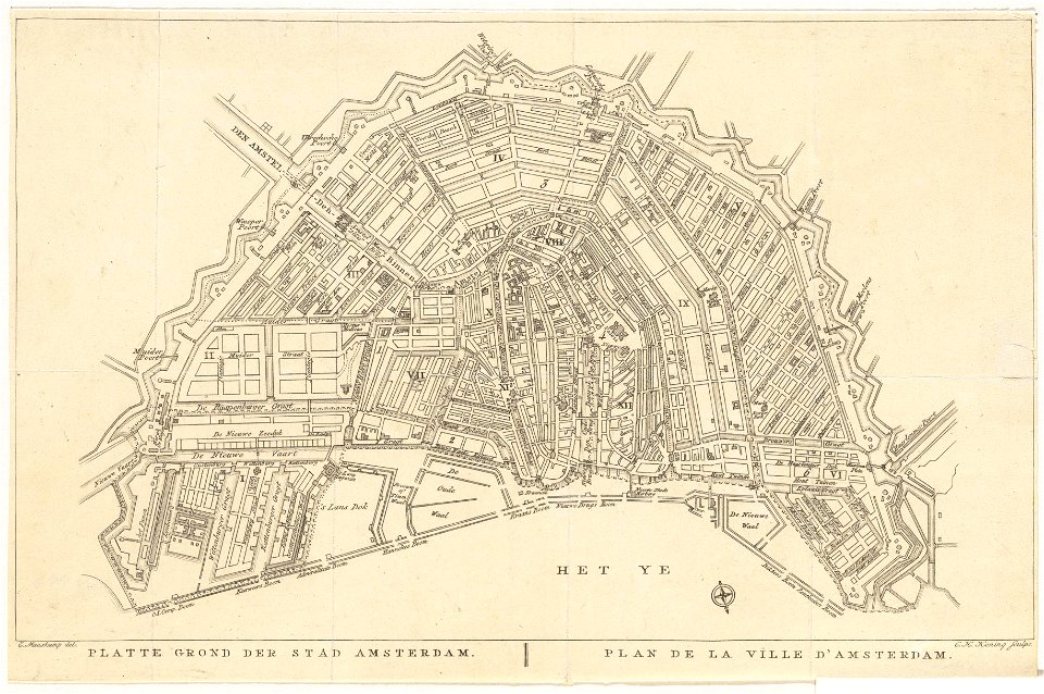
old maps of amsterdam
evert maaskamp
holyrood abbey
arthur's seat
floor plans of chapels in scotland
plans of holyrood abbey
les métamorphoses du jour
symbolism
the book of antelopes (1894)
1894 maps
british library king's topographical collection
map of paris by françois van hoey
alexander jackson davis
william d. smith
victorian architecture
industry in beverley
1 - 31 of 31
/ 1